Beyond the Basin: Reflections on my Upstream Upbringing
By Christina Rouse, Mississippi River Delta Restoration Projects Intern, Environmental Defense Fund
Clang. A knot of rusted chains pulls shut the driveway gate, bringing it closed with a final smack against a worn fencepost. Just like that, my Sunday afternoon visit to our family farm in Clarksville, Missouri ends. After a quick trip home to Saint Louis, it’s time to catch a flight to Washington, D.C. for my internship.
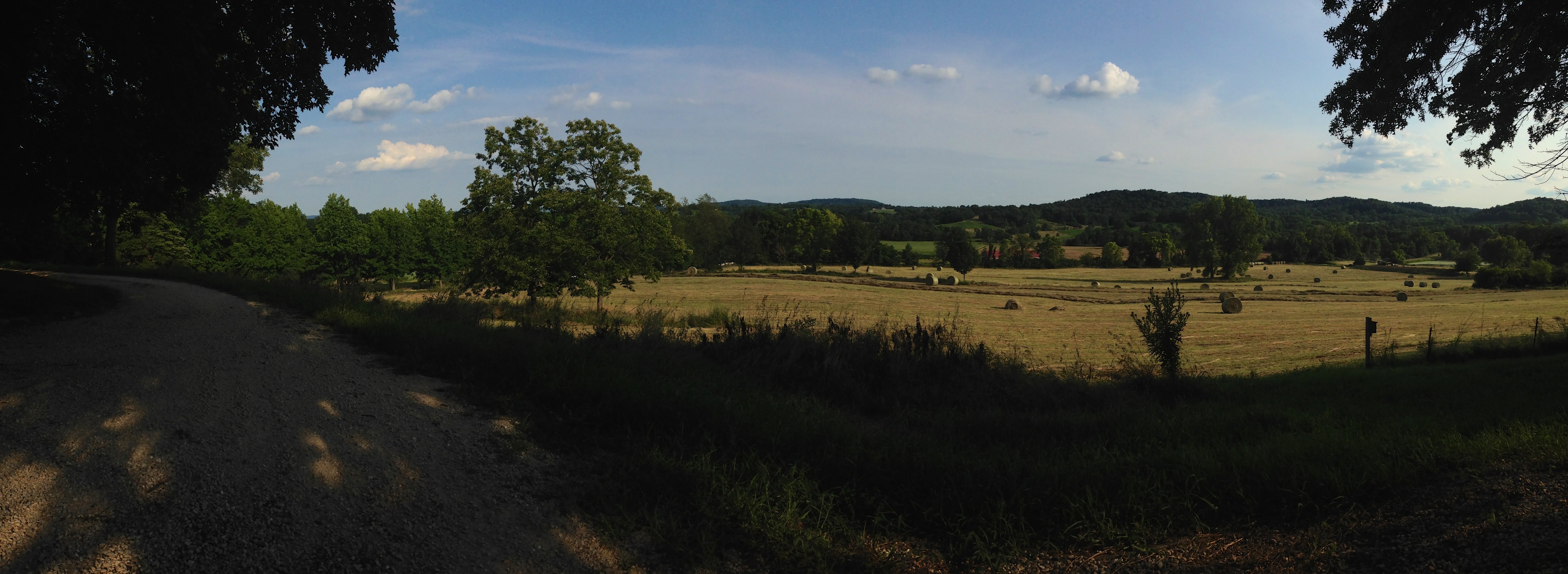
On top of a hill, our farmhouse is safe from flooding; just down the road, however, downtown Clarksville remains at the mercy of the Mississippi.
The road beneath our tires turns from gravel to pavement. “Do you want to see downtown?” my dad suggests. I laugh, but agree to check it out. “Downtown” is a relative term in Clarksville – a quiet river city with fewer than 500 residents.
The streets slope down to the shoreline, where historic buildings meet the Mighty Mississippi. A few barges float nearby, unperturbed by the currents that pull toward the Gulf of Mexico. It’s a calm day on the river. I spot a sign emblazoned with a familiar red and white Army Corps castle. Just ahead, a concrete arm extends across the channel.
“Welcome to Lock and Dam Number 24,” my dad quips upon approach. “I spent a summer working here. Only eight or so barges can go through at one time, which is half the normal amount a towboat carries.”
Pointing upstream, he continues: “The rest have to be tied off to wait during the double lockage. That was my job. Sometimes it took two hours just to get them all through. The barges carry everything from wheat to steel all the way to the ports of Louisiana.”

One of my favorite things: hunkering down in a duck blind with my dad on the Cuivre River, which feeds into the Mississippi. The migration patterns of waterfowl are another important link between Missouri and Louisiana.
On the Upper Mississippi River, which stretches from Minnesota to Illinois, there are 29 locks operated by the U.S. Army Corps of Engineer maintaining this crucial commercial navigation route. Number 24, located at mile marker 273, opened in 1940 with an innovative flourish. Tainter gates replaced traditional roller gates at the dam, allowing for minimal energy expenditure during opening and closing. Efficiency for the transport of raw materials and goods increased. Safety improved: due to the force exerted by the gate itself, the lock closes even during mechanical failure.
Despite these improvements and the economic opportunity presented, intensive channelization of the Mississippi brought more troubles than originally anticipated. Expansive levee systems on the opposite bank, constructed in concert with continuous dredging, increased the frequency of flooding events. Structures designed to protect Illinois farmland consistently put Clarksville in harm’s way – and a lack of public funds to address the issue leaves residents on their own.
This storyline is not unique to Missouri. Up and down the Mississippi, communities are facing a perilous and uncertain future as the effects of climate change compound traditional river flooding issues. Should they abandon their homes? Will the state or federal government provide aid? These questions hang in the air much like humidity on a summer day – enveloping minds and thoughts in a muggy blanket.
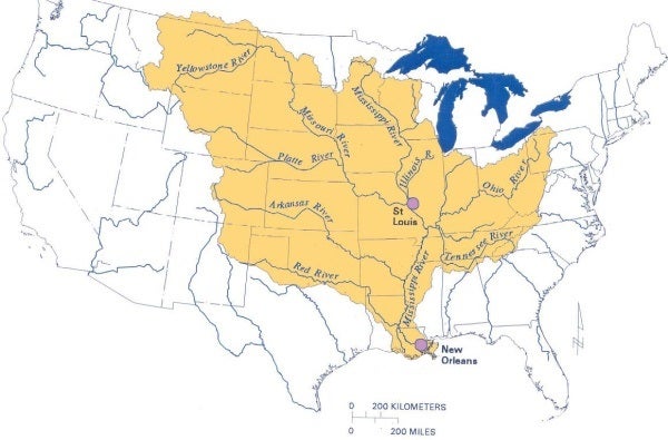
The watershed of the Mississippi River spans 31 states and two Canadian provinces, connecting distant cities like Saint Louis and New Orleans both commercially and culturally. Credit: EPA 2015.
Venturing downstream to Louisiana, these problems are exacerbated by coastal land loss, hurricanes and sea level rise. Yet, hope for small river towns like Clarksville stems from state and local action downriver in the Mississippi River Delta. Money devoted to long-term restoration solutions involving natural infrastructure rather than concrete walls sends an important message: work with the environment, not against it.
As I learn the intricacies of authorized diversion projects, ridge restoration programs and shoreline protection initiatives, I see feasible solutions. Other states will look to Louisiana, with its steadfast dedication to ecosystem restoration and resilience, as a model for reconciling the complex issues of floodplain and river management with the compounding effects of sea level rise and increased storms.
In southeast Louisiana, Mississippi River sediment and fresh water diversions are critical for land-building. Upriver, strategically placed outlets serve an alternate purpose by taking pressure off high flood risk Midwest communities like Clarksville.
Louisiana diversions serve as a case study to show that you can divert river water and sediment, even on a large scale, while being conscious of navigation and community needs.
The long history of restoration planning in Louisiana, which dates back to 1880, indicates that the set of problems that coastal communities face now are not new – nor are the solutions, technological advances aside. What has changed over time is the prioritization of actually implementing measures to mitigate human modification of such an important but delicately balanced environment.
When I call my dad after I leave the office, he always asks me if I “solved all the problems on the Mississippi River today”. Not yet, but I’m working on it.
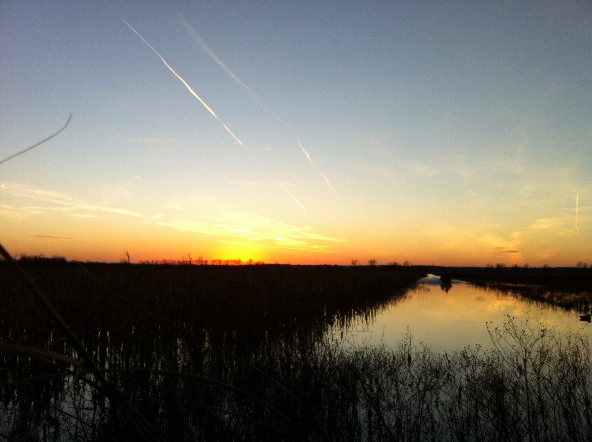
The sun sets on a day at our family farm in Clarksville, Missouri.