Project was included in the WRDA 2020 bill, approved by Congress under Section 213 in the Lower Mississippi River Comprehensive Management Study.
About This Project
Project ID: 001.DI.100
Parish: St. Charles, St. John
Type: Fresh Water Diversion
From the 2017 Coastal Master Plan
A structure in the existing western spillway guide levee to divert 2,000 cfs thereby increasing freshwater exchange with adjacent wetlands.
Project Updates
- 12/01/2020
What is a Diversion Project?
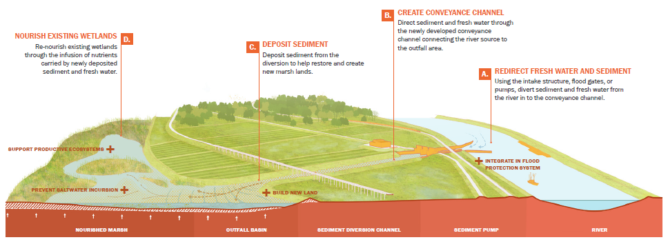
Graphic by SCAPE, Published in 2023 Coastal Master Plan
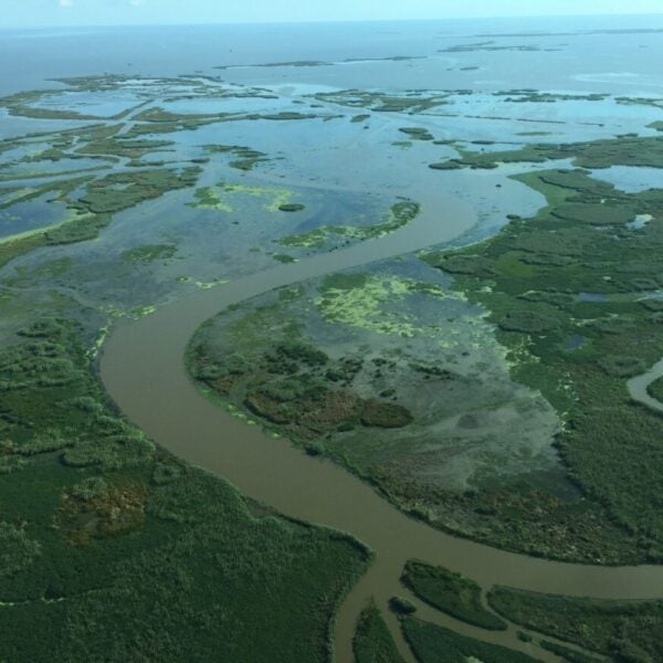
Diversions mimic nature’s historic land-building processes by using the power of the river to move sediment and fresh water from the river into nearby basins. This project type can not only build new land but also provide a sustainable source of sand and mud necessary to sustain and increase the health of existing wetlands over time. Sediment diversions can also re-establish or maintain the fresh end of the estuary, originally lost to saltwater intrusion, ensuring that the range of fresh to saltwater habitats that makes Louisiana’s estuaries so productive persists into the future. Sediment diversions also help sustain nearby marsh creation, barrier island and ridge restoration projects.
Other Diversion Projects
Mid-Barataria Sediment Diversion | Mid-Breton Sediment Diversion | River Reintroduction into Maurepas Swamp | Atchafalaya Diversions | Central Wetlands Marsh Creation and Diversion | Three Mile Pass Marsh Creation and Hydrologic Restoration | Ama Diversion | Union Diversion
Updates
- 08/01/2023
Project included for consideration and additional modeling/research in the 2023 Coastal Master Plan’s Upper Basin Diversion Program – Pontchartrain
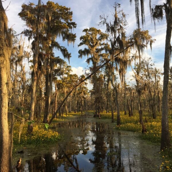
Ecological Highlights
Habitats
Wildlife