A View from Above: Large-Scale Restoration at New Orleans’ Doorstep
The scale of Louisiana’s land loss crisis – and the work being done to preserve it – can be hard to grasp from the ground. One of the best education and advocacy tools for coastal restoration is to fly people over the coast to see the scale and impacts of our land loss crisis. While we can’t bring everyone up on a plane, we can do our best to bring that perspective to you here. In this blog series, we are following a virtual flyover path down the lower Mississippi River and looking at past and future projects impacting our coastline. Check out the other posts in this series.
Hello and welcome back to your personalized flight along the Louisiana coast!
Our last flight made stops over the wetland areas surrounding Bayou Bienvenue to see the damage caused by the former Mississippi River Gulf Outlet (MRGO) as well as the Central Wetlands in the Pontchartrain Basin. Both areas demonstrate the impact humans have made on our coastal wetlands and the need for large-scale restoration projects to reduce land loss and protect our communities.
*Click on upper right hand corner button to expand legend
Today our flight will continue on to the Greater New Orleans Hurricane and Storm Damage Risk Reduction System (HSDRRS). After Hurricane Katrina created lasting damage in southeast Louisiana, Congress authorized and funded the Army Corps of Engineers to create and implement HSDRSS, which works to reduce storm surge and other flood risks via levees, floodwalls, pumping stations, and more across a 133-mile perimeter of the Greater New Orleans area.
Within the greater HSDRRS area we will narrow our view down to the Golden Triangle, a 4,420-acre wetland area where the MRGO and Gulf Intracoastal Waterway converge. As hurricane Katrina swept through this area, storm surge was funneled through the two channels, causing levees and floodwalls to collapse and unleashing a deadly wall of water into communities in the Lower 9th Ward, New Orleans East, and St. Bernard Parish.

Inner Harbor Navigation Canal-Lake Borgne Surge Barrier
Since this catastrophic event, the Corps has built a 1.8-mile-long surge barrier called the Inner Harbor Navigation Canal-Lake Borgne Surge Barrier across the Golden Triangle to reduce storm surge and protect communities from that funneling effect.
Additionally, to help support a critical part of the levee system that surrounds New Orleans, the Golden Triangle Marsh Creation Project was created to restore this necessary wetland buffer. Restoration of this area is crucial because it will not only help bolster the storm surge barrier and enhance community resilience for the Greater New Orleans area, but it will also provide estuarine habitat for fish and wildlife.
Currently, a 600-acre section of the Golden Triangle is under construction using 2010 Deepwater Horizon Oil Spill penalties.
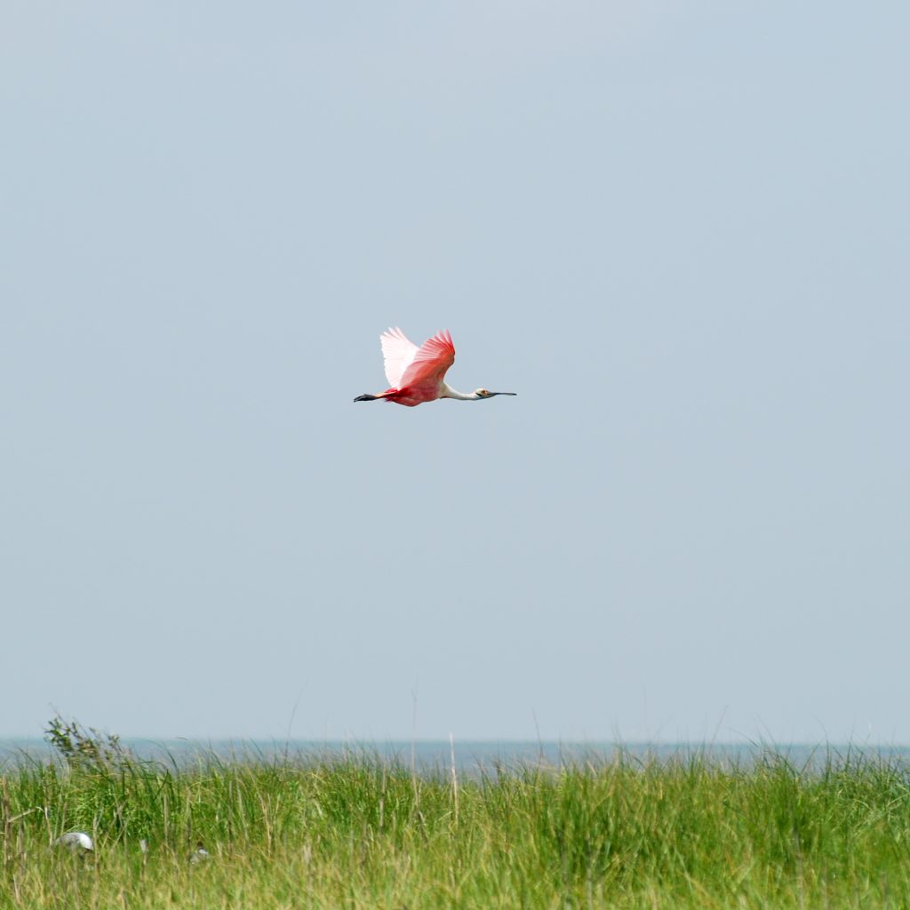
Restoration of the Golden Triangle will provide habitat for wildlife like the roseate spoonbill. (Photo credit: David Ringer)