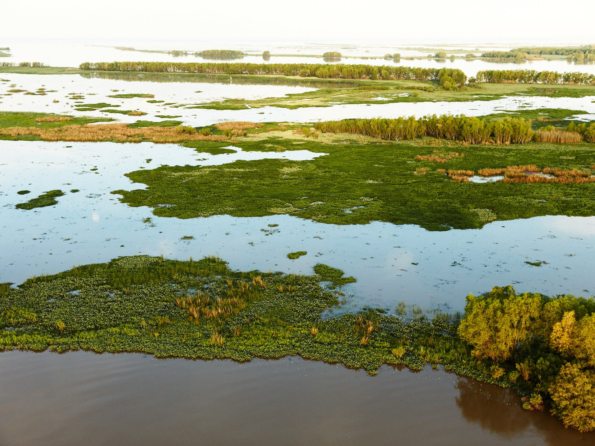
Soaring Above Louisiana’s Coast Shows How We Can Restore It
Ben Depp is a New Orleans-based landscape photographer and National Geographic Society Explorer. He has photographed many parts of Louisiana’s coast, capturing with amazing detail the beautiful and haunting details of our disappearing swamps, marshes and barrier islands.
Last year, Ben was featured in the nationally-distributed documentary series “Last Call for the Bayou” in the episode, “On a Wing and a Prayer,” which detailed the urgency of the state’s land loss crisis and his unique process for documenting it.
I sat down with Ben to get his insights on some photos that provide a unique bird’s-eye view of the opportunity to restore vanishing wetlands by harnessing the power and sediment of the Mississippi River.
Ben, you photograph Louisiana’s coast, but you do so in a way that is quite unique. Tell us about your process.
For the past 7 years, I’ve been exploring the Louisiana coast by paramotor. A paramotor is maybe the world’s smallest aircraft. I wear a motor on my back with a propeller on it, and I have a wing overhead which looks similar to a parachute. I usually launch half an hour before sunrise or a couple of hours before sunset and fly for several hours at a time. I spend a lot of time camping in the back of my pickup truck or on remote beaches in south Louisiana, waiting for the weather and wind to be just right for flying. Sometimes I camp for a few days and never get to make a flight.
What sort of details can you capture by photographing on a paramotor compared to other forms – say by drones or by planes?
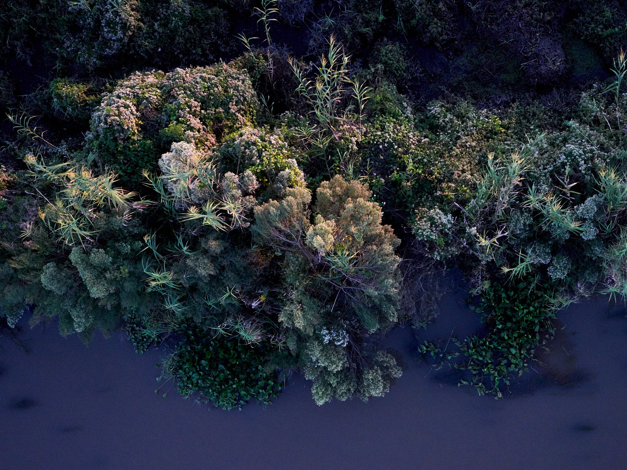
I have found that a paramotor is the best way to really see this place. South Louisiana is very flat, so it helps to be able to get up off the ground. With a paramotor, I just go out and explore. I can fly from 15 feet above the ground up to 10,000 feet off the ground. I enjoy flying low and slow to see all the textures and detail in the grasses, flowers and trees below me. Sometimes I get hired to take aerial photos and will charter a plane or use a drone for that because that’s more reliable than my paramotor. But in a plane you are usually moving over 100 mph and with a drone you’re looking at a tiny screen trying to figure out what is what. Most of the magic I have found has been while spending hours exploring and just looking around. A paramotor is the best way for me to do that.
What is it like to soar above Louisiana’s coast as only a Brown Pelican might?
Each flight is still simultaneously exhilarating and a little terrifying. I think I’m one of the luckiest people in Louisiana – the view I get is incredible. One of my favorite things is to be a few hundred feet up at sunrise over the wetlands and watch the colors change in the marsh as the sun moves. It’s also the best way to watch a summer sunrise in Louisiana because I’m above the mosquitos.
You’ve flown over many parts of our coast, including Plaquemines Parish. What is it like to fly over this region?
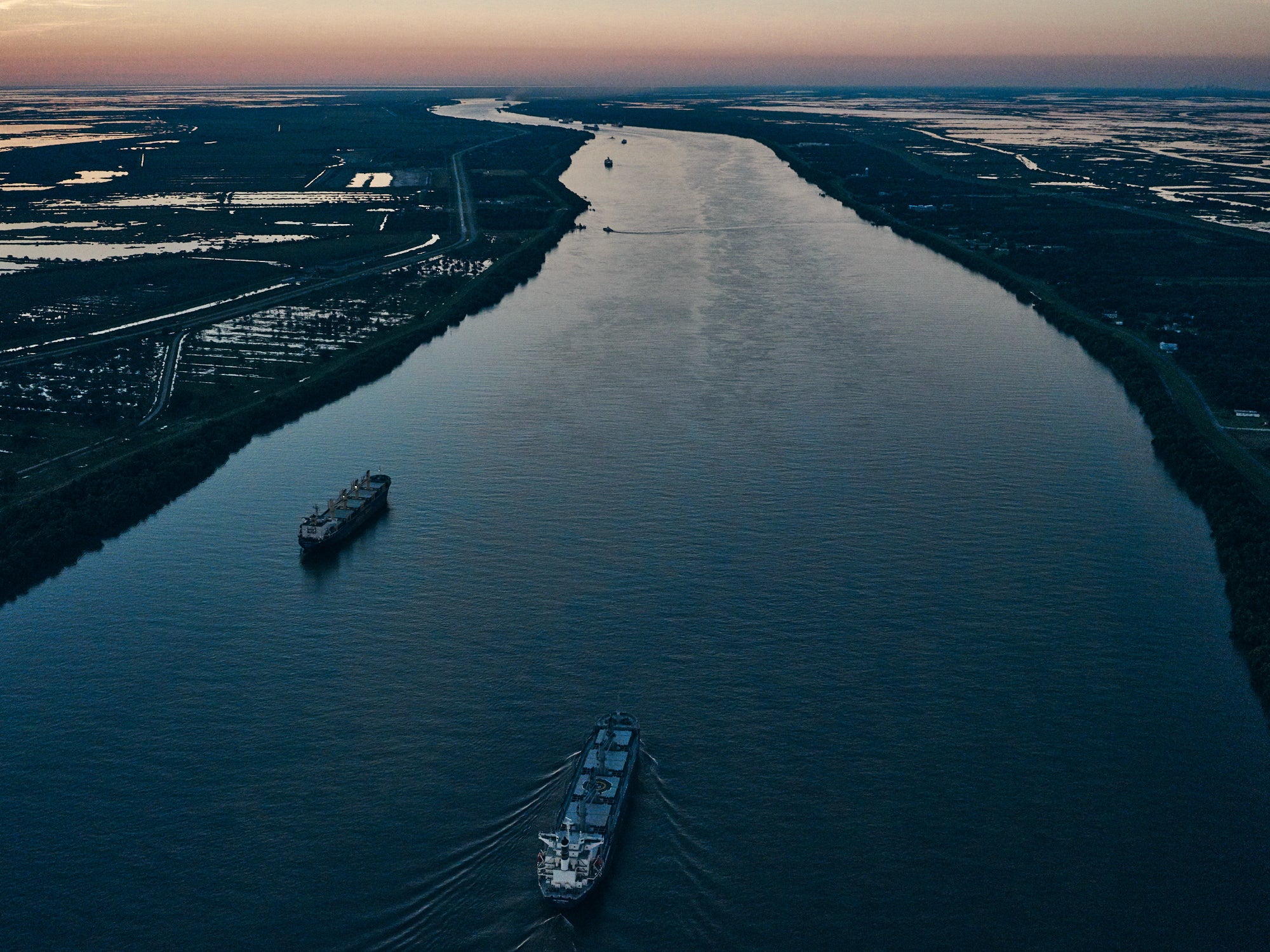
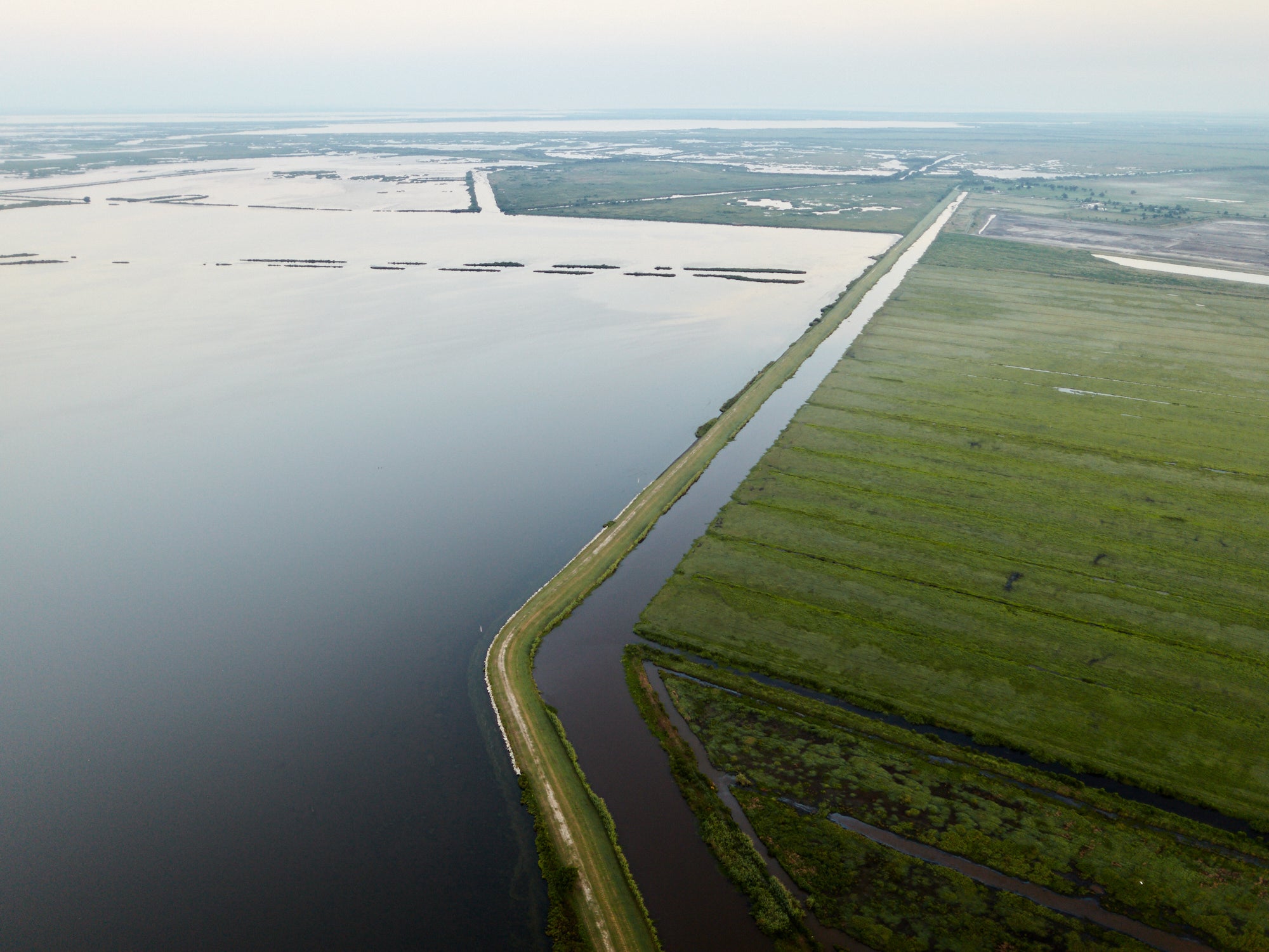
Plaquemines Parish is special because the Mississippi River runs through the length of it. Looking down on the churning river is intense. It sometimes looks like it’s half mud. Apparently, it is estimated to carry 436,000 tons of sediment per day, which just blows my mind. The Parish is mostly marsh with levees protecting thin strips of land running down both sides of the river. Outside of the levees there are still a few trees and drainage ditches in the salt marsh, clues that not too long ago that marsh was pastureland.
Plaquemines Parish is comprised of land on either side of the Mississippi River, as the river makes its way to the Gulf. How do the wetlands on either side of the river differ?
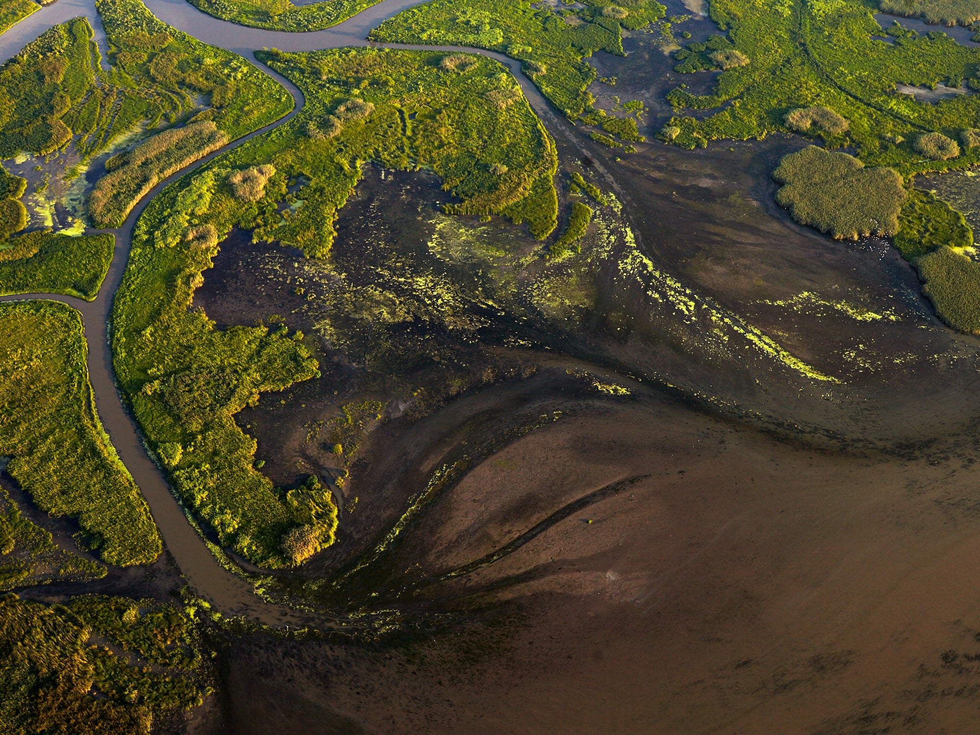
On the west side of the river there are no openings in the levees, and the wetlands are sinking and disintegrating. On the east side of the river there are several breaks in the levees that have allowed the river to deposit sediment to replenish the wetlands and to build new land. There are several small deltas along the river on the east side of the Parish and it’s very cool to see that happening.
The planned Mid-Barataria Sediment Diversion will be just south of Myrtle Grove on the West Bank. What are the wetlands and marshes like in this area?
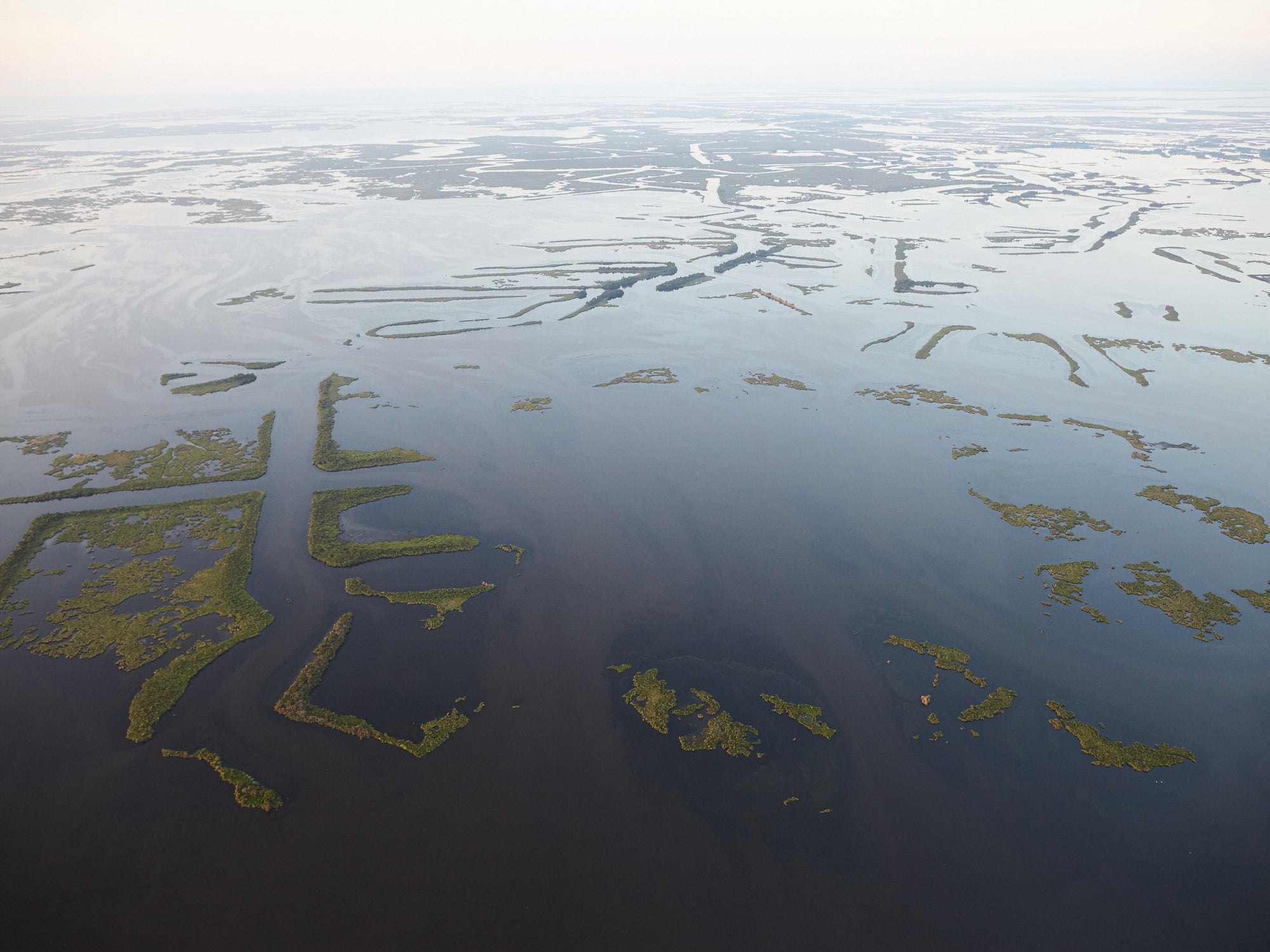
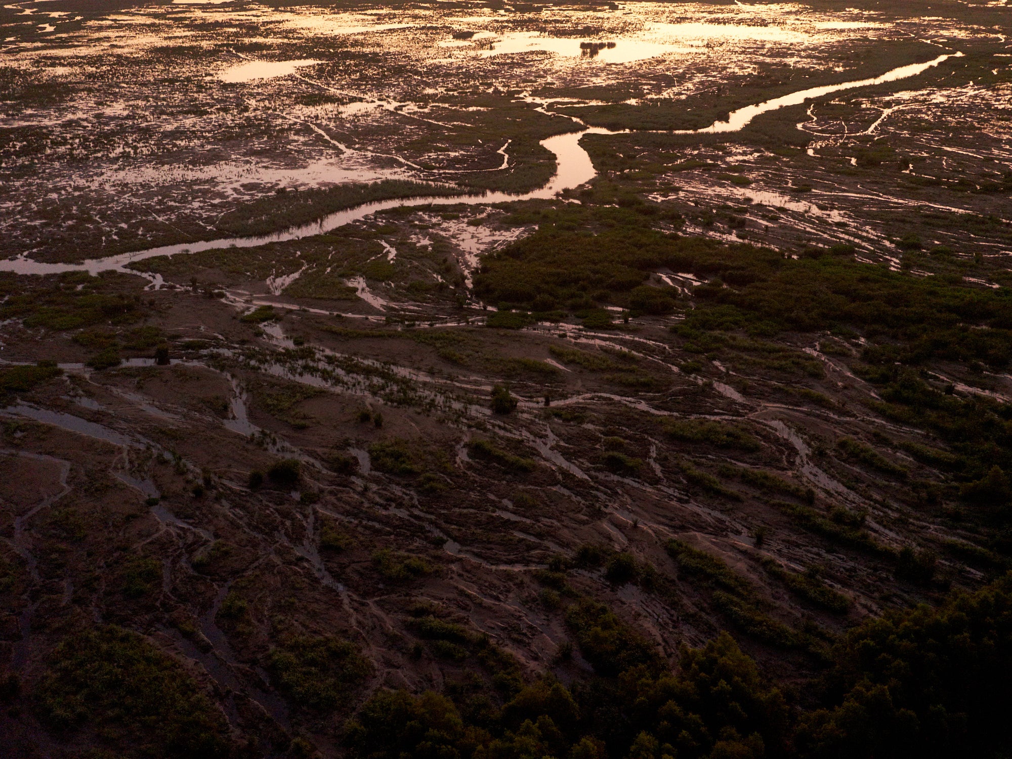
The bulk of the wetlands in this area have already sunk and become open water. Most of what’s left has a ragged look, like it’s fragmenting apart. The edges of canals dug for oil and gas exploration are still here, crossing what is now open water. I’m really interested to watch this area over the next few years if the diversion is built and see what an impact it will have.
How do they compare to other areas on the East Bank of the river, such as those near Mardi Gras Pass or Fort St. Phillip? Any difference in the types and abundance of wildlife or vegetation that you see?
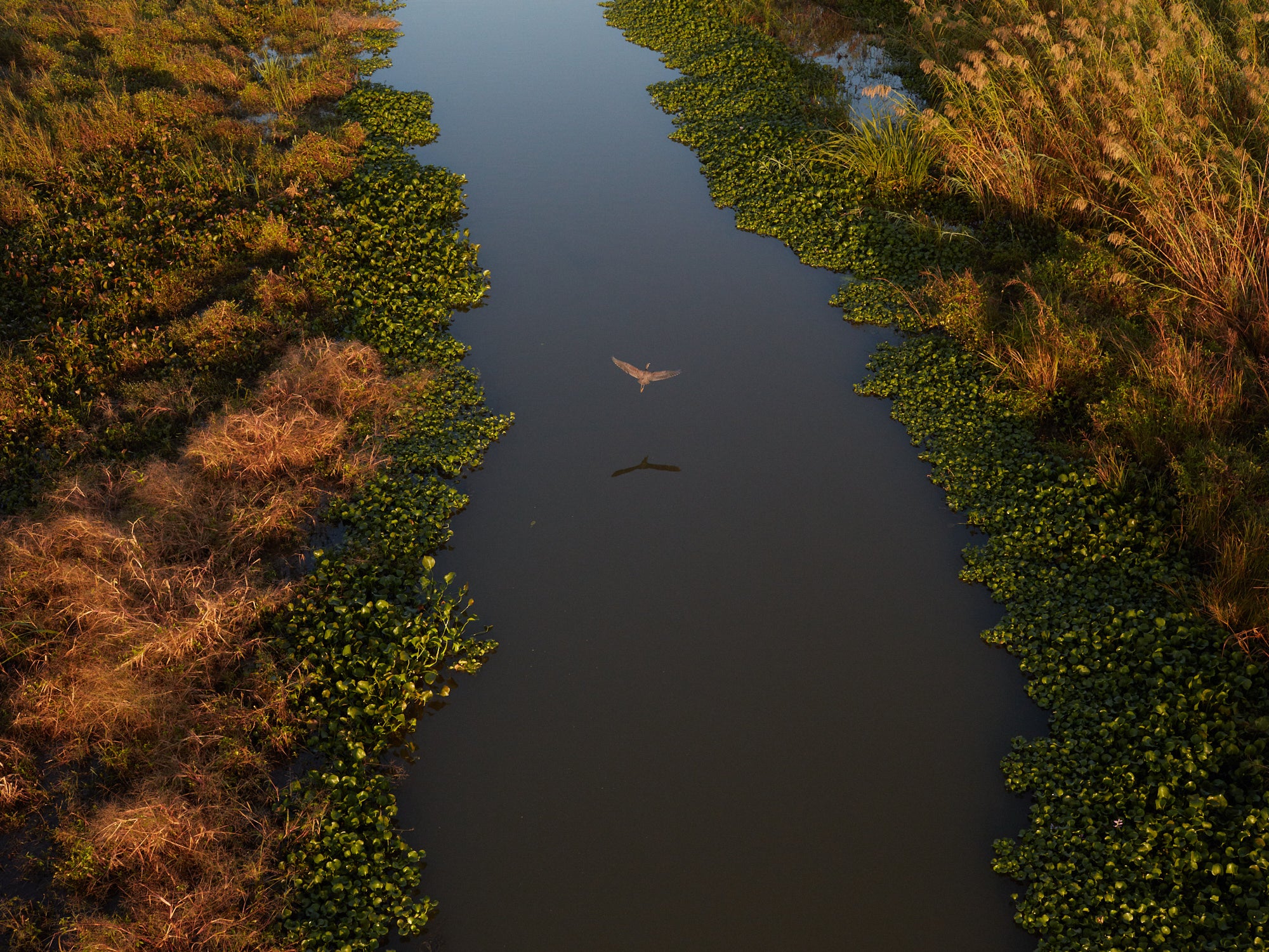
I flew over Mardi Gras Pass and Fort St. Phillip a couple of times in the past few months. With the river sediment building up these areas, there is new vegetation popping up where last year there was open water. There are thousands of ducks and other birds out there. These new deltas seem to be thriving with biodiversity. The remaining marsh on the west side of the river definitely has birds and fish, but I don’t see the huge numbers of birds and diverse vegetation like on the east side of the river.
You’ve flown extensively over the Wax Lake Delta, one of the few areas of Louisiana’s coast actually gaining land because of regular freshwater, sediment and nutrients from the Atchafalaya River. How does the Wax Lake Delta differ from other areas of Louisiana’s coast?
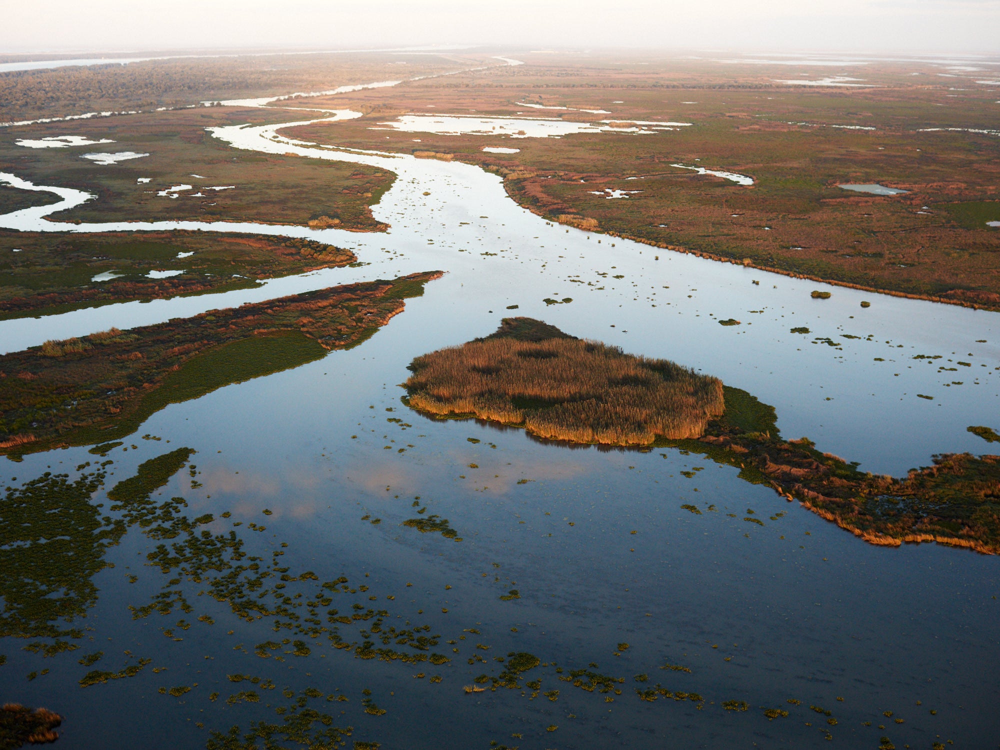
The Wax Lake Delta looks super lush, and from the air I can see the deltaic lobes of silt pushing further out into the Gulf. The Wax Lake Delta has built something like 8 kilometers of land out into the Gulf over the past 80 years. In contrast, on much of the coast east and west of the Wax Lake Delta, I see dying trees from saltwater intrusion, wetlands turning to open water, and the beaches retreating.
As you’ve flown over these areas, how have things changed over time?
I see beaches retreating all along the coast. Things can really change during storms like the ones we had this past fall. The few places where the river is carrying sediment into the wetlands are also changing quickly. I recently went back to the wetlands near Fort St. Phillip and tried to revisit a spot where I had taken a photo 5 years earlier and it was impossible to find where I had taken the photo because the open water was now marsh filled in with sediment and vegetation and a lot of the channels had moved. The river is only allowed to build new land in a few locations, but these few diversions aren’t currently enough to keep Plaquemines Parish habitable for people or wildlife long term. I’m hoping the Mid-Barataria Sediment Diversion will be one of many more diversions to come.
What’s next for you, and where can people go to access your amazing photography?
I recently built a new 18-foot wooden sailboat. It took me a year to build that boat and I’m enjoying using it to explore and photograph more remote places on the coast that were too far to fly to. People can follow my trips into the marsh on Instagram (@deppphoto). I’m finishing a photography book of aerial photos of the Louisiana coast which should be available next year. A Gallery of Fine Photography in New Orleans has prints of my work on display.
